Altavista
The small town of Altavista lives up to its name with its numerous hiking spots and lookout points for stunning views of the urban landscape of Medellín. If you like photography, this is a wonderful place to capture panoramic shots of the city, and for hiking enthusiasts, Altavista is a must-visit.

What to Do
The initial stretch of this stone road is wide, but the road narrows as you continue. Historically and culturally significant, this road was built by the Nutibara Indigenous people, later crossed by the Spanish colonizers, and traveled by muleteers, making it a treasured heritage site today. Visitors can enjoy this path on horseback.
Built over 40 years ago, this private building now serves as a convent and as a venue to hold activities for the community. A preschool also operates in the building. The convent partners with apostolic groups and offers workshops for mothers who are heads of households.
Located on El Barcino hill, about a 90-minute walk from Altavista’s government house, this monument is a focal point of the traditional Way of the Cross that takes place in the rural settlement of Buga during Holy Weeks. The monument, the cover, and the access stairs of this religious landmark are in good condition. Thanks to this monument, the territory has gained relevance within the Catholic community.
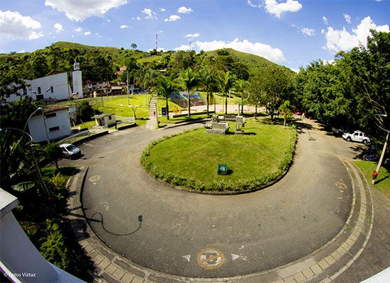
The Jesús de Nazareno Church is situated near Altavista’s government house and it’s part of the civic center of the small town. Except for some wear in the lateral facade, the formal and structural elements of this contemporary building are well-preserved. Every September 14, the church celebrates the patron saint festivities of Jesus of Nazarene, featuring novenas, a bazaar with music and food, and a mass with the participation of the community.
Located in the rural settlement of Buga, La Perla has a fall of approximately 15 meters. Although it’s not visible from the road, it’s accessible via a ten-minute hike along a rugged trail. The place is surrounded by native vegetation, contributing to the beauty of the site. The waterfall forms a small natural pool in which ten people can fit comfortably.
Although there are conditions that negatively impact the landscape and the enjoyment of nature, such as the presence of garbage, the place has no fixed or mobile sources of atmospheric emissions, allowing for optimal air quality in the area. The cave is a characteristic landscape of our region, where geographic features and human activities converge, offering a very attractive view. According to the inhabitants of the area, the cave was used by Pablo Escobar to secretly leave one of his homes.
This canyon is a geographic formation that covers a large area of the rural settlement of Aguas Frías. Livestock and agricultural activities are developed in this area, and the residents of Aguas Frías have established their rural homes around the roads that intercommunicate the area. However, the permanent circulation of vehicles generates atmospheric emissions, and surface runoff, infiltration, and direct discharge of sewage and solid waste contaminate water sources.
The El Picacho hill is a natural element of great relevance in the small town because of its geographic characteristics, which make it stand out in the landscape. An extensive part of the area shows human intervention, including cattle grazing and a patula pine plantation for timber production. There is a conservation strip with native fauna and flora, but it’s being progressively reduced due to the expansion of the agricultural frontier.
The El Encanto forest is located within the area known as Los Tres Morros, where there are numerous species of trees used for timber, energy, food, medicine, and wetland protection. The area is also home to birds, mammals, snakes, and insects. At first glance, the forest seems protected, as there are no extractive activities, erosion, constructions, visual obstructions, and garbage dispersion.
The upper part of the rural settlement of El Llano retains the characteristics of rural life with small-scale farming. However, dense population limits available land for crops. In addition, there is evidence of intensive exploitation of the soil, with practices such as monocultures and the use of chemical fertilizers, leading to soil infertility and depletion and contamination of surface and underground water sources.
This micro-watershed is located near a farm with a road, thereby limiting visitors from a full nature experience. In some areas of this micro-watershed, there are native trees that help purify the water. However, in other parts, the forests have been replaced by pastures for cattle ranching, deteriorating the surrounding environment. Additionally, there is garbage dispersion in the area. Finally, there is flora and fauna, but they are not relictual or endemic.
Held annually at the end of July when strong winds blow, the kite festival draws around 5,000 kite flyers for a big party enlivened by musicians and orchestras. The only requirement to participate in the event is to bring your own kite. The festival is organized by the Institute of Sports and Recreation of Medellín.
Where Is Altavista and How to Get There?
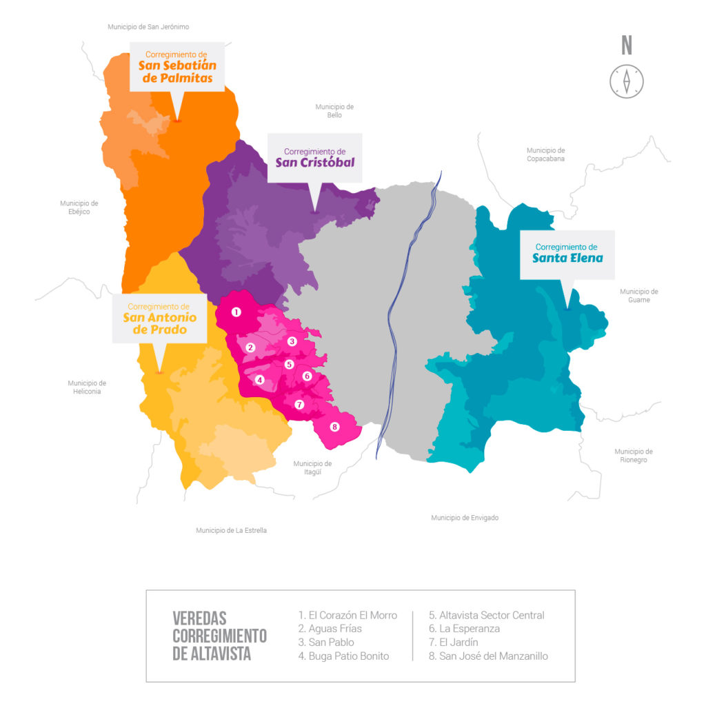
The small town of Altavista is part of the rural area of Medellín. Its main access road is through the comuna 16, Belén.
You can take the bus to the small town of Altavista at Parque de Belén in the neighborhood of Belén. You can also take the bus at Los Alpes Metroplús station, the second station of both Metroplús Line 1 and Line 2 towards Aranjuez station.
La distancia desde el Centro de la ciudad hasta Altavista es de aproximadamente 7 kilómetros y el costo promedio del trayecto para el 2020 es de 13.000 COP, 3,34 USD.
Desde el barrio Laureles el trayecto es de aproximadamente 6 kilómetros y el costo promedio del trayecto para el 2020 es de 10.000 COP, 2,57 USD. El Barrio El Poblado, uno de los más populares entre los visitantes, se encuentra a aproximadamente 8,5 kilómetros y el costo promedio del trayecto para el 2020 es de 16.000 COP, 4,12 USD.
Information for Tourists
The following grassroots initiatives or organizations can assist you with tourism services in the small town of Altavista:
Community Action Board of Altavista – Nature Tourism, Ecotourism, and Agrotourism
Recommendations
- Keep in mind that the small town lacks a solid infrastructure and proper connectivity due to the physical conditions of the territory.
- Bring a tourist map of the small town and find out about the topographical and climatic conditions of the areas you plan to visit. In addition, make a copy of your passport, medical assistance card, and other documents.
- Use sunscreen even if it’s cloudy or sunless. Wear comfortable shoes and warm clothes, especially in the afternoon and at night, as the temperature can drop considerably.
- Since it’s a rural environment, you may have to be prepared for long walks; proper food and hydration will allow you to be on your feet during the whole route.
- Enjoy forests, lakes, historic roads, farms, and other spaces responsibly. Don’t leave your litter in these places or damage the flora and fauna of the territory.
- In addition to a camera with enough space, bring binoculars to closely observe the flora and fauna found in the area.
- Invest in the territory, support local businesses by buying their products, and try to contribute to the development of sustainable and responsible tourism.
A través de la iniciativa Compra Local puedes apoyar los emprendimientos de productores, campesinos y artesanos de los Corregimientos de Medellín.


